Ollerdorf-Heidenberg
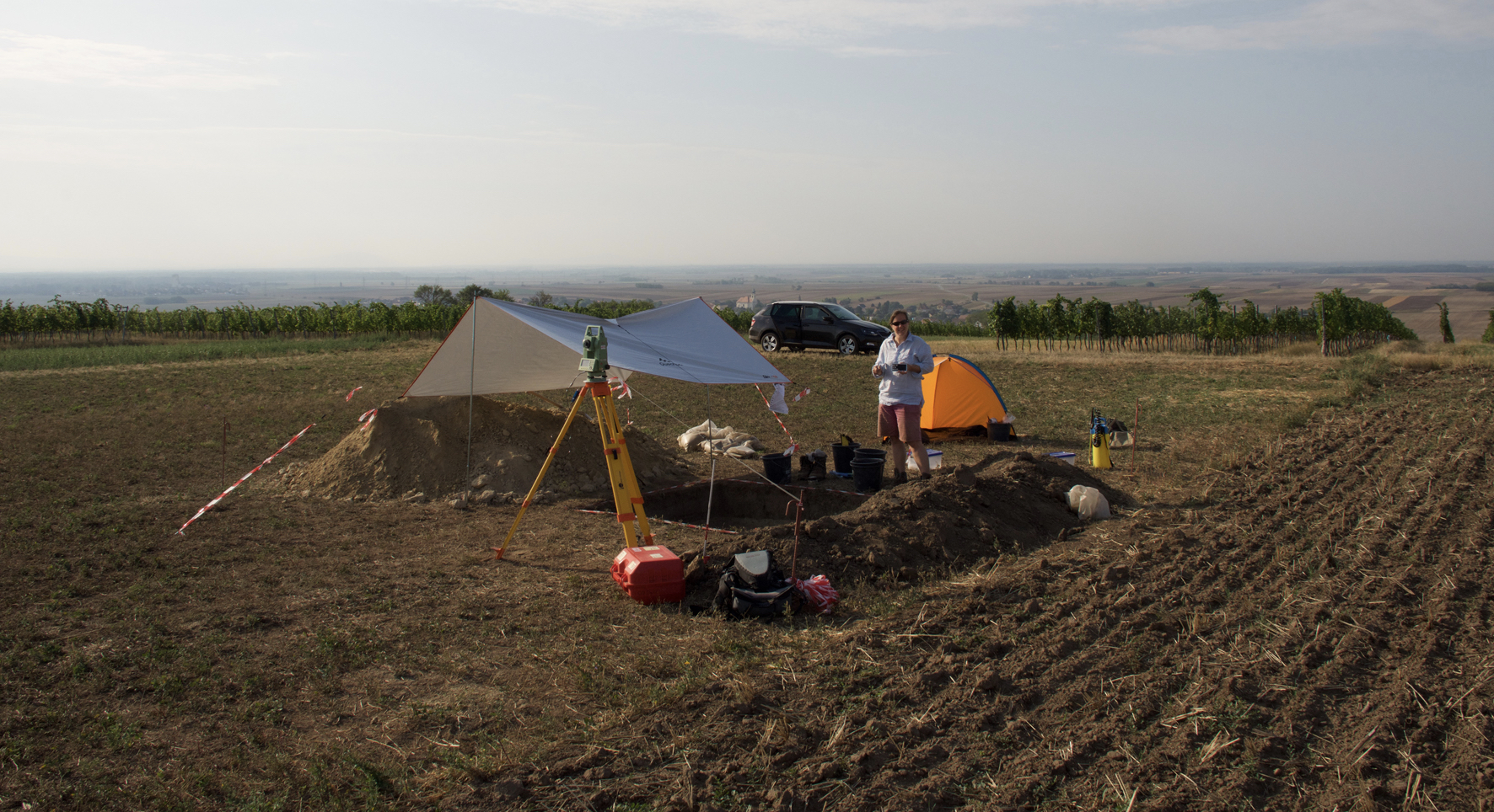
Ollerdorf-Heidenberg, Trench 1, view from NW. Excavation 2017.
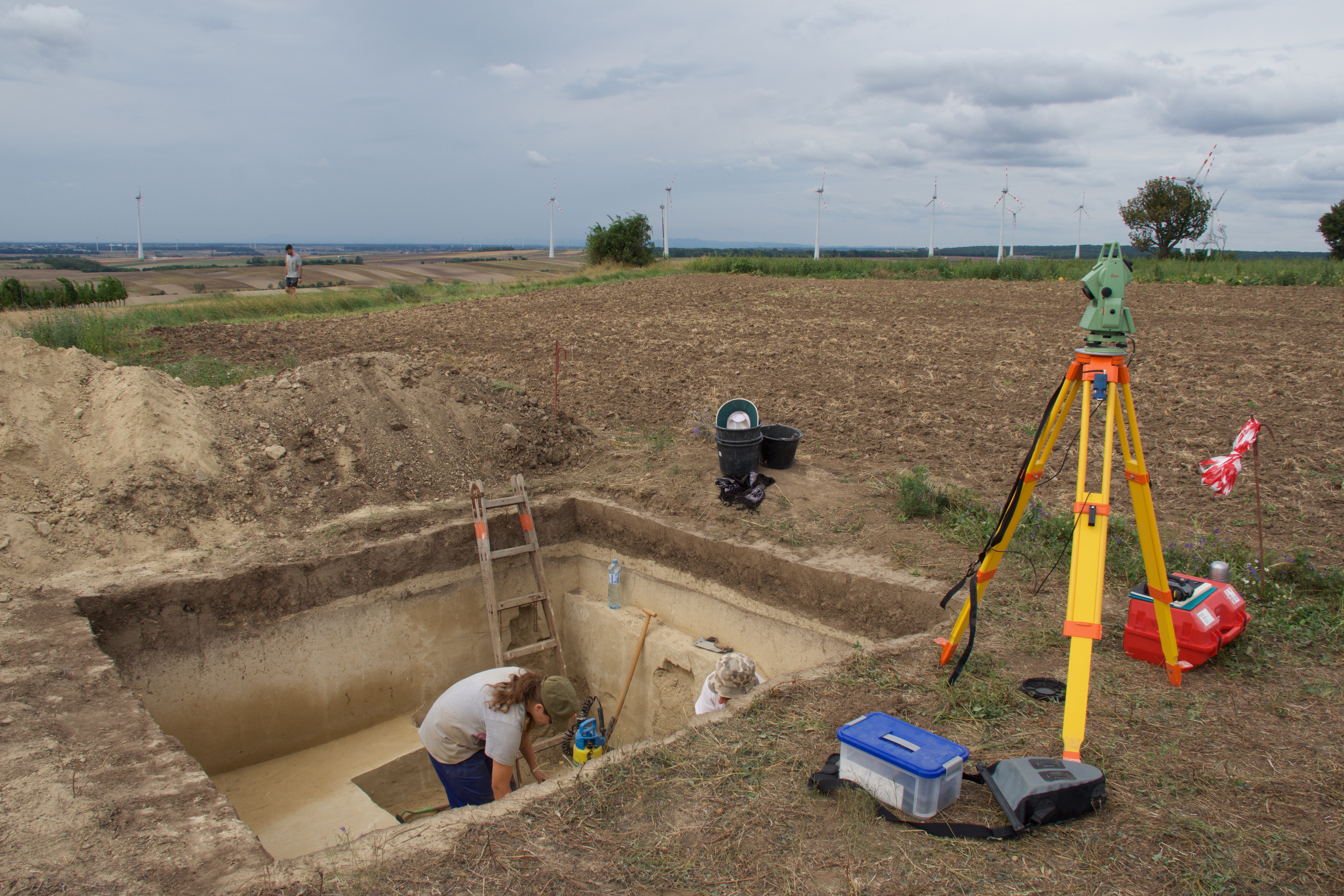
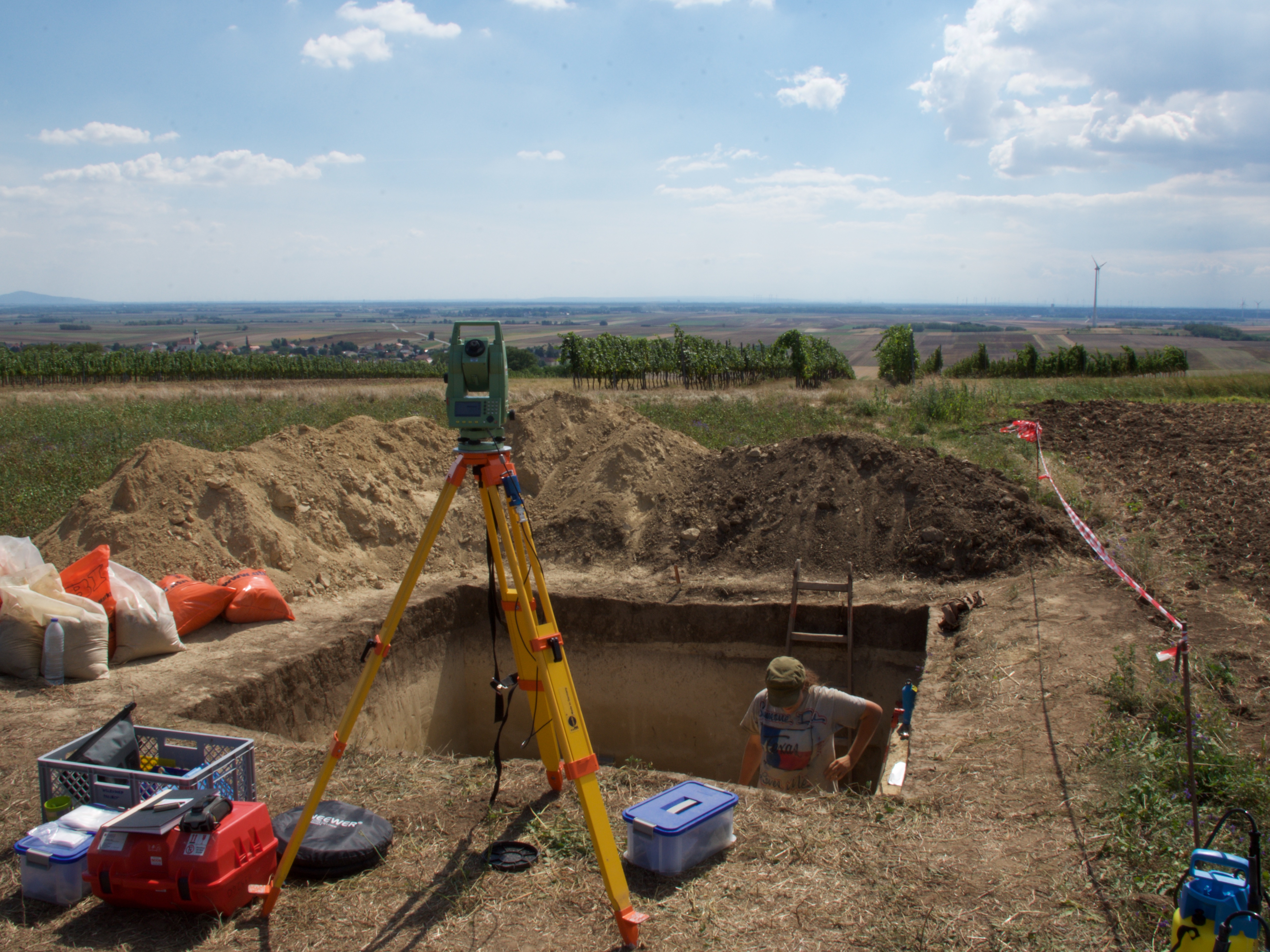
Excavating Trench 1 in 2018.
Ollerdorf-Heidenberg is located approximately 26 km NE of Vienna, close to the Austrian-Slovakian border, on the southern fringes of the low rolling hills of the so-called Weinviertel with S and SE views over the Marchfeld, a plain forming the northern part of the sedimentary basin of the Vienna Basin (Wiener Becken). The site is located on top of a hill at an elevation of 237 m above sea level. The closest river is the Morava (March), a tributary to the Danube, in 4.4 km distance to the site. In the surrounding area and less than 4 km distant three stratified Upper Palaeolithic sites of roughly similar chronostratigraphic position, Grub-Kranawetberg I, grub-Kranawetberg II and Stillfried-Steinschlägeratelier are known. A further 10 Upper Palaeolithic sites are known by surface collections that yielded Upper Palaeolithic lithic artefacts.
The site was discovered in 1997 during construction of an oil pipeline. Two Gravettian archaeological horizons (AH) separated by sterile loess deposits were observed and again recognized in 2007 when the same company placed another oil pipeline through the site, more or less parallel to the first pipeline. Both pipeline trenches (1997 and 2007) were provided abundant archaeological remains including lithic artefacts including bladelets and faunal remains (including among others horse, reindeer and mammoth) showing well-preserved cortical surfaces as well as a perforated Glycymeris sp. shell.
Our team started fieldwork in 2017 with the goal to test the extension of the archaeological horizons in the eastern part of the site through a combination of drilling and test-excavation. We conducted three fieldwork seasons so far (2017, 2018 and 2022). We excavated two trenches (Trench 1 and 2). Trench 1 (2017, 2018 and 2022) covers an area of 3 m by 5 m and is up to 2.3 m deep. Within its sequence two archaeological horizons have been documented. Trench 2 (2018) has a size of 2 m by 2 m and is up to 2.15 m deep. One archaeological horizon has been located in the lower part of the sequence. We collected a series of geoarchaeological and palaeoenvironmental samples throughout the exposed sequence. Currently we are processing samples, studying the archaeological material, and dating the archaeological remains.
This project is co-directed by Walpurga Antl-Weiser (NHM Vienna), Marjolein D. Bosch (Austrian Archaeological Institute) and Philip R. Nigst (University of Vienna). Other team members are: Stéphane Pirson (AWaP), Carolina Mallol (University of La Laguna), Margarita Jambrina-Enríquez (University of La Laguna), and Freddy Damblon (Royal Belgian Institute of Natural Sciences).
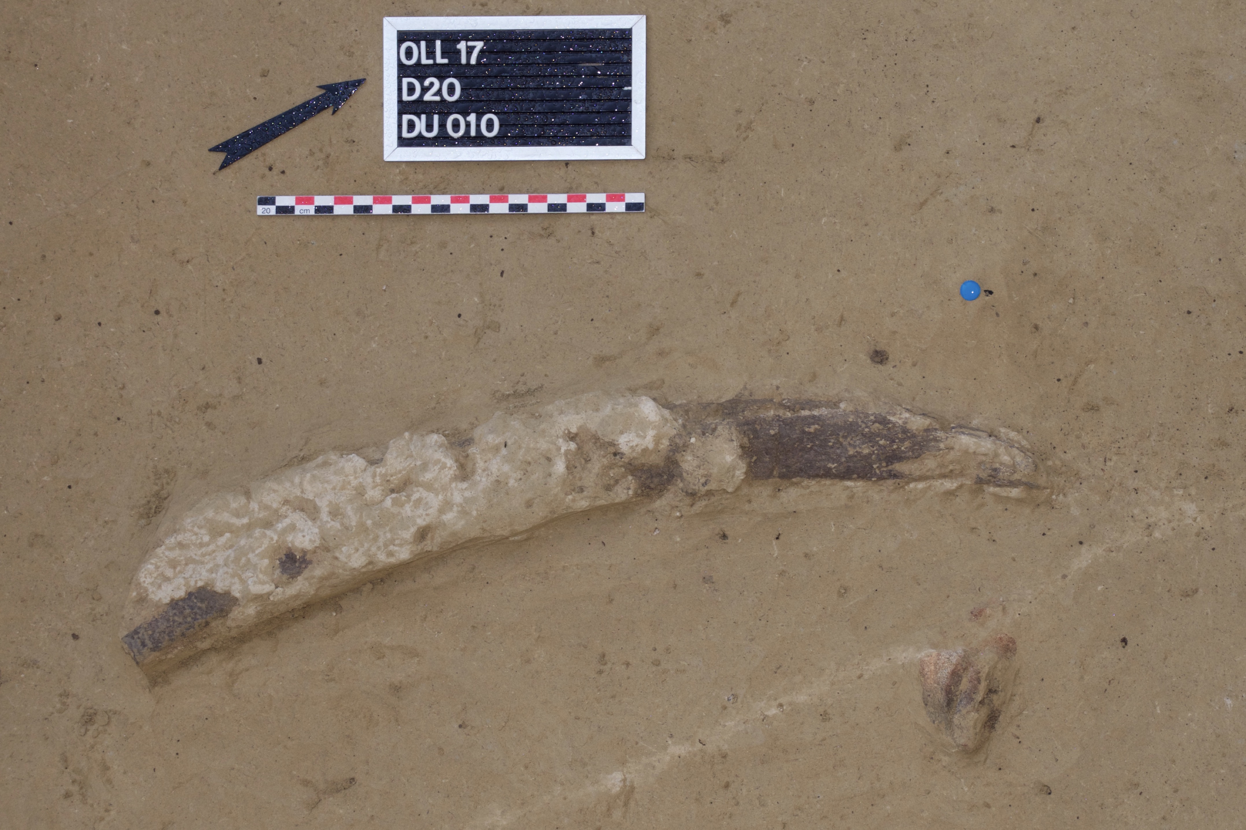
Horse rib fragment.
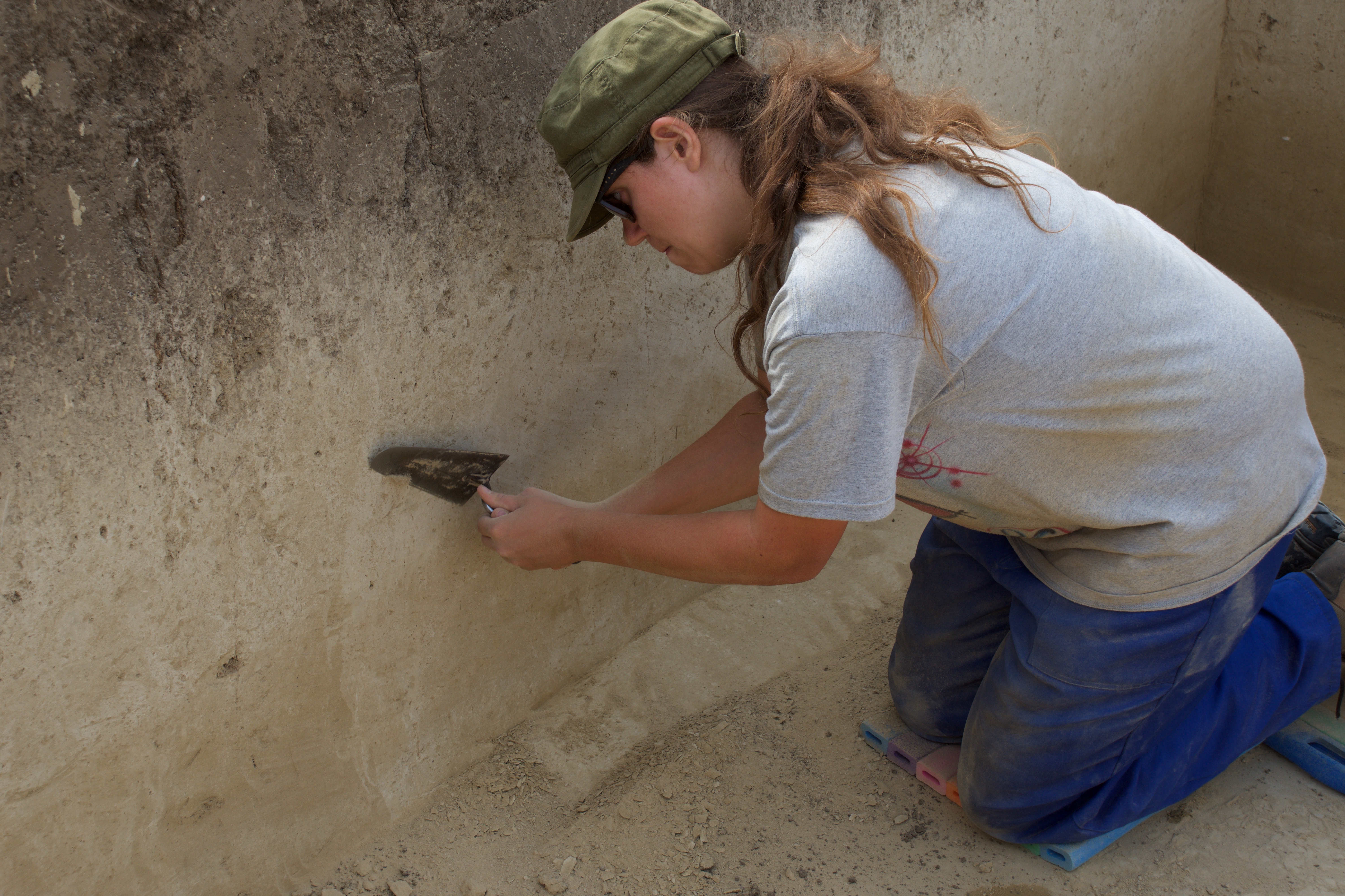
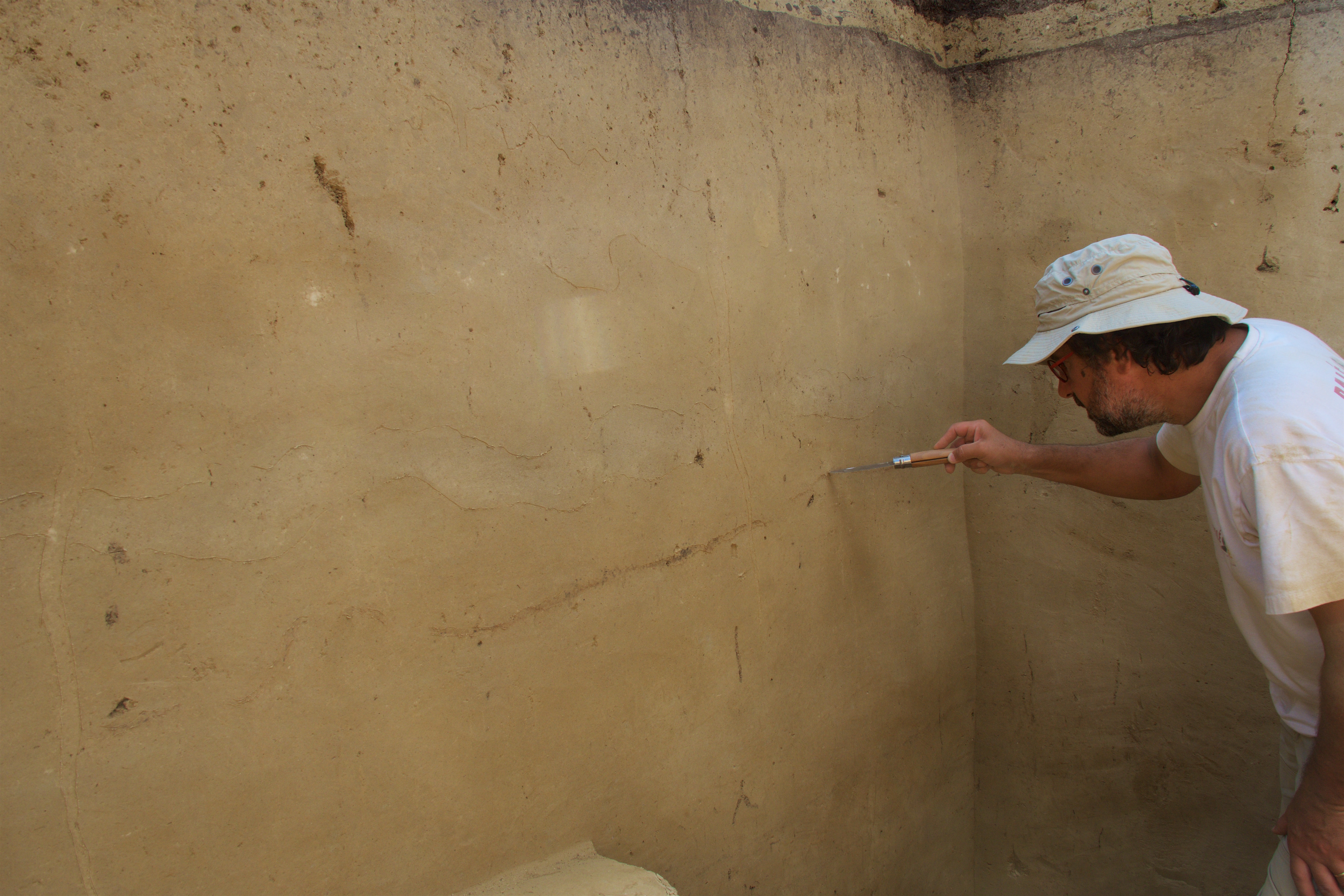
Section cleaning.
Trench 1 (2018), view from N.
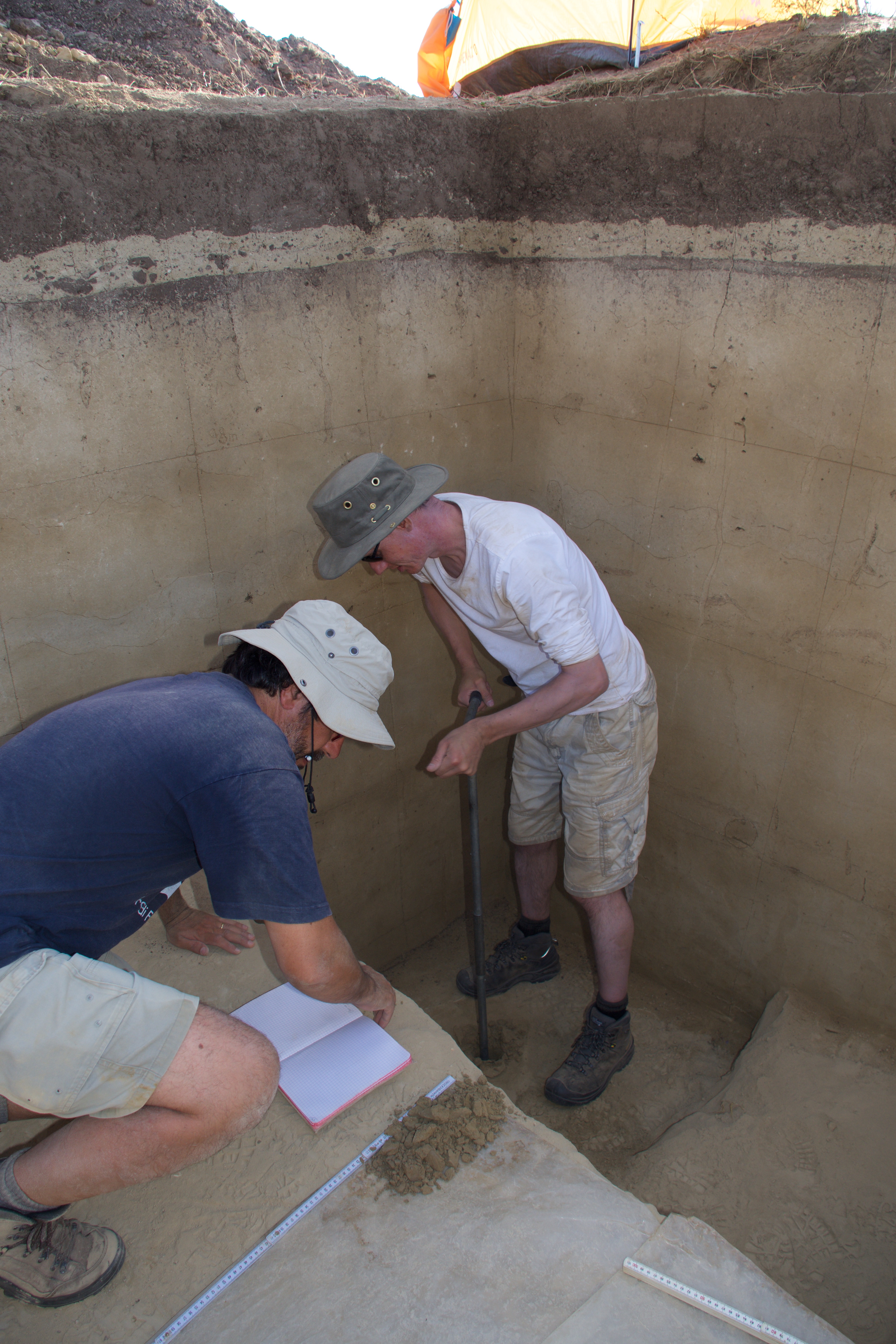
Geologist S. Pirson studying the stratigraphy of Trench 1 (2018).
Coring using a hand auger from the bottom of Trench 1 (2018).
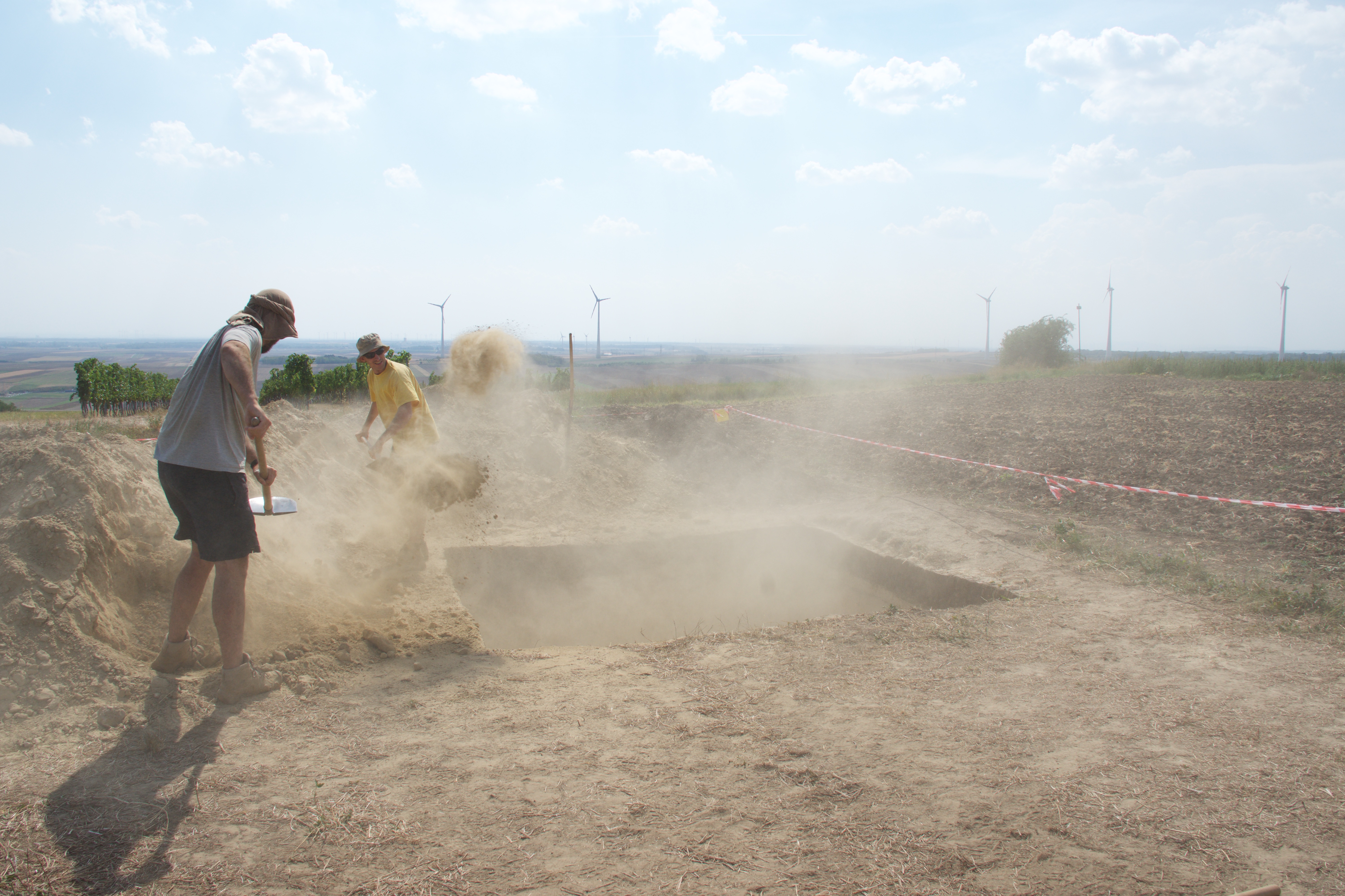
Backfilling Trench 1 (2018).
All photos © Marjolein D. Bosch and Philip R. Nigst, unless otherwise stated.