Mitoc-Malu Galben
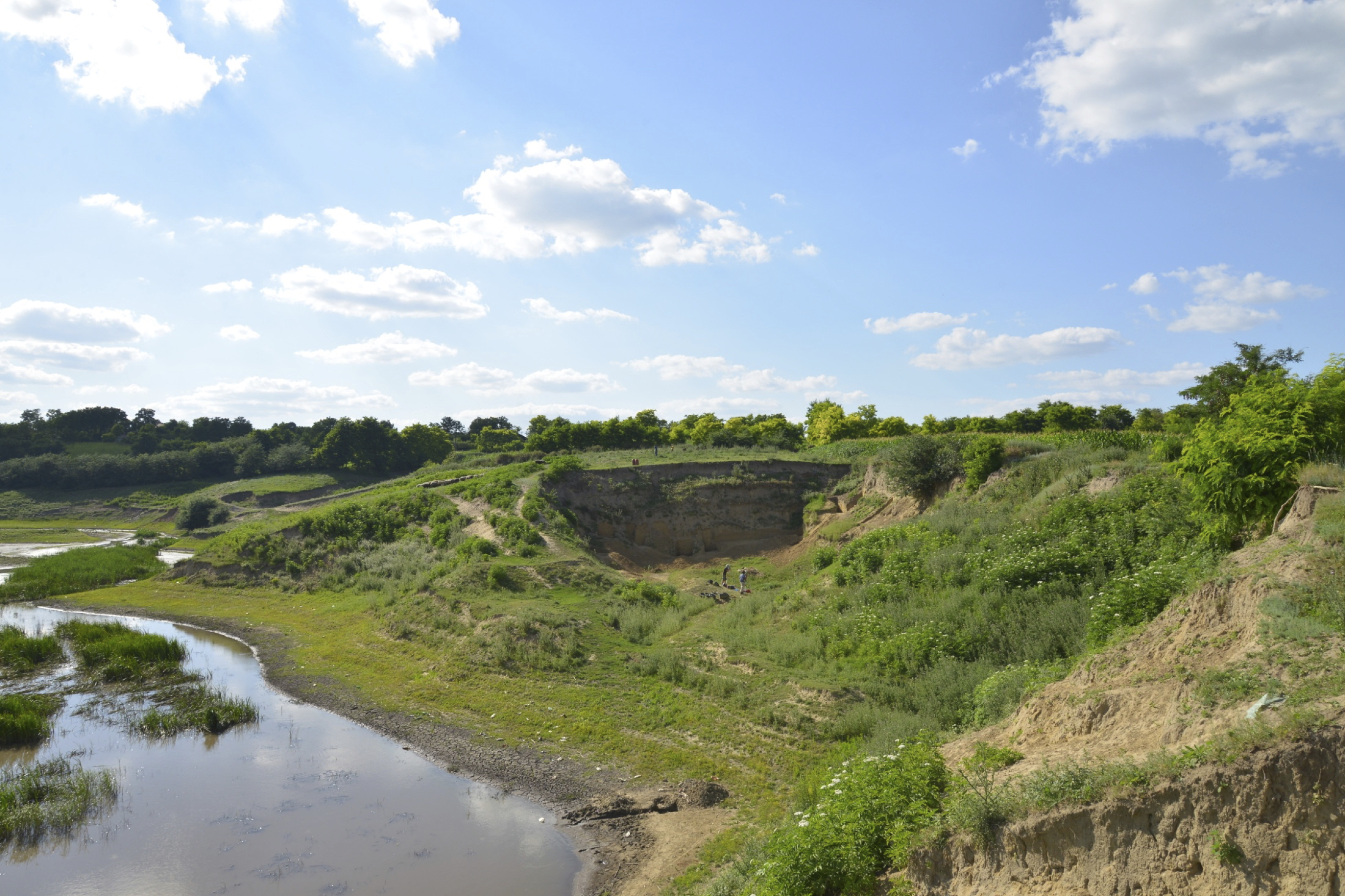
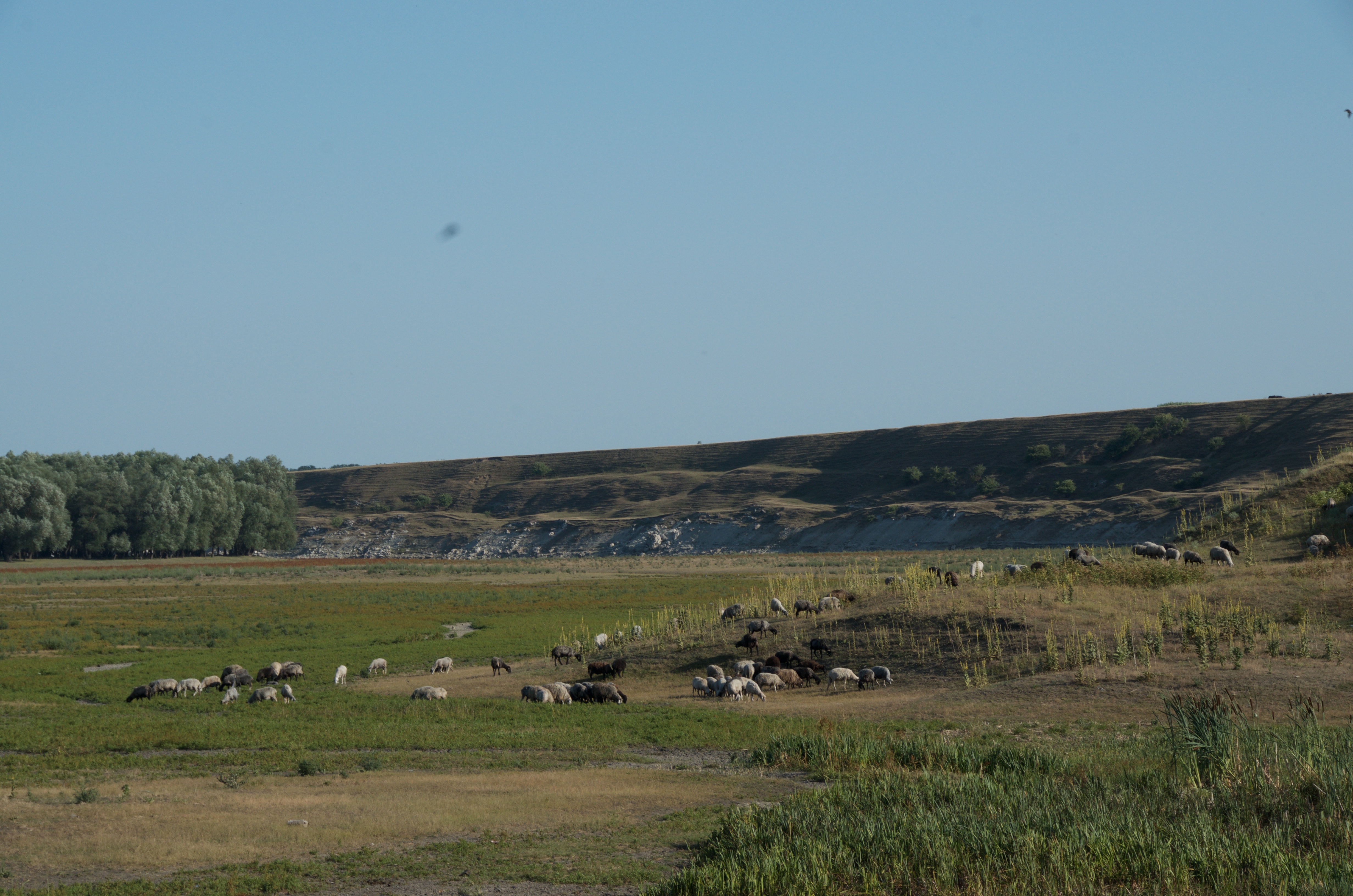
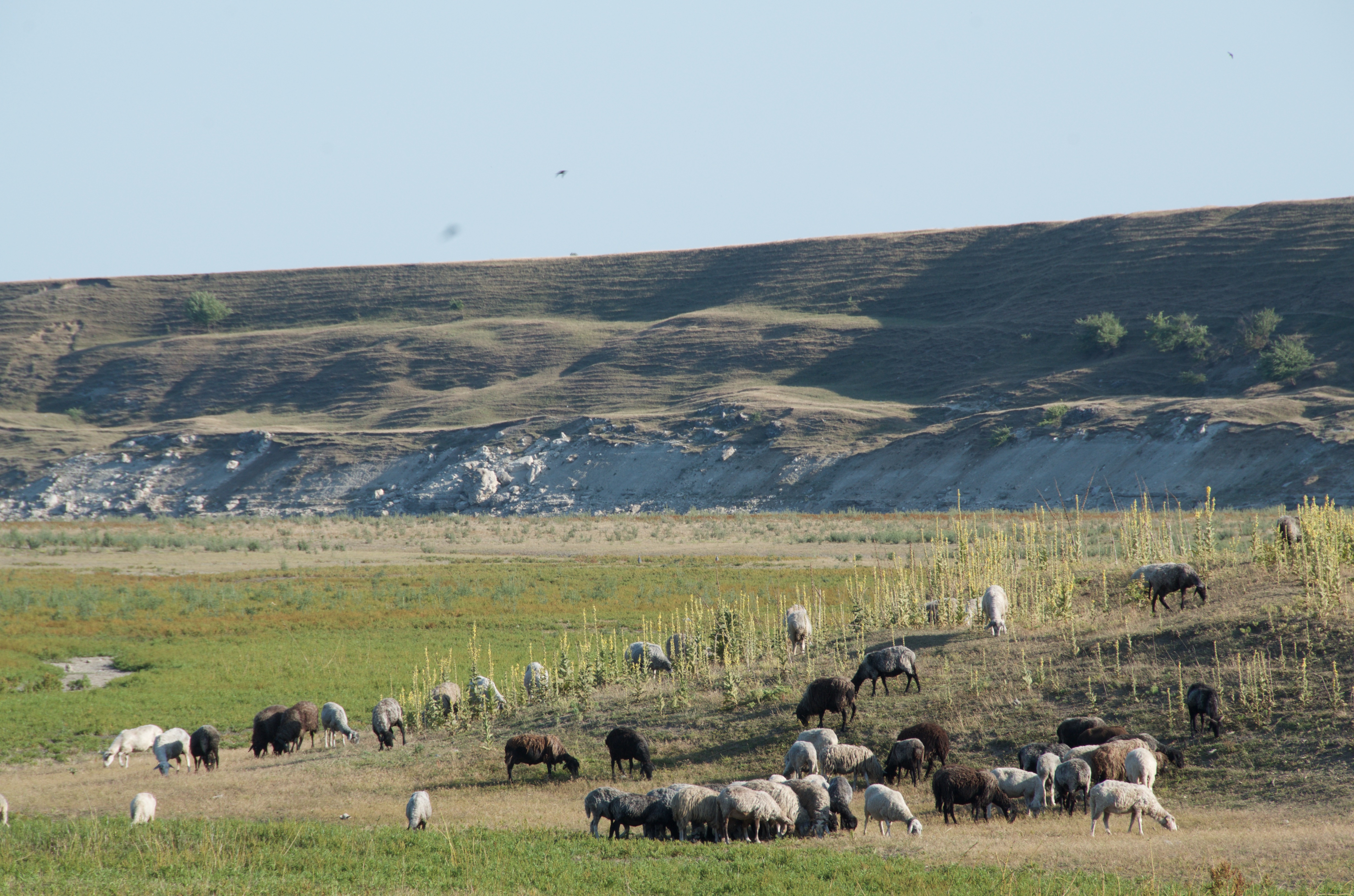
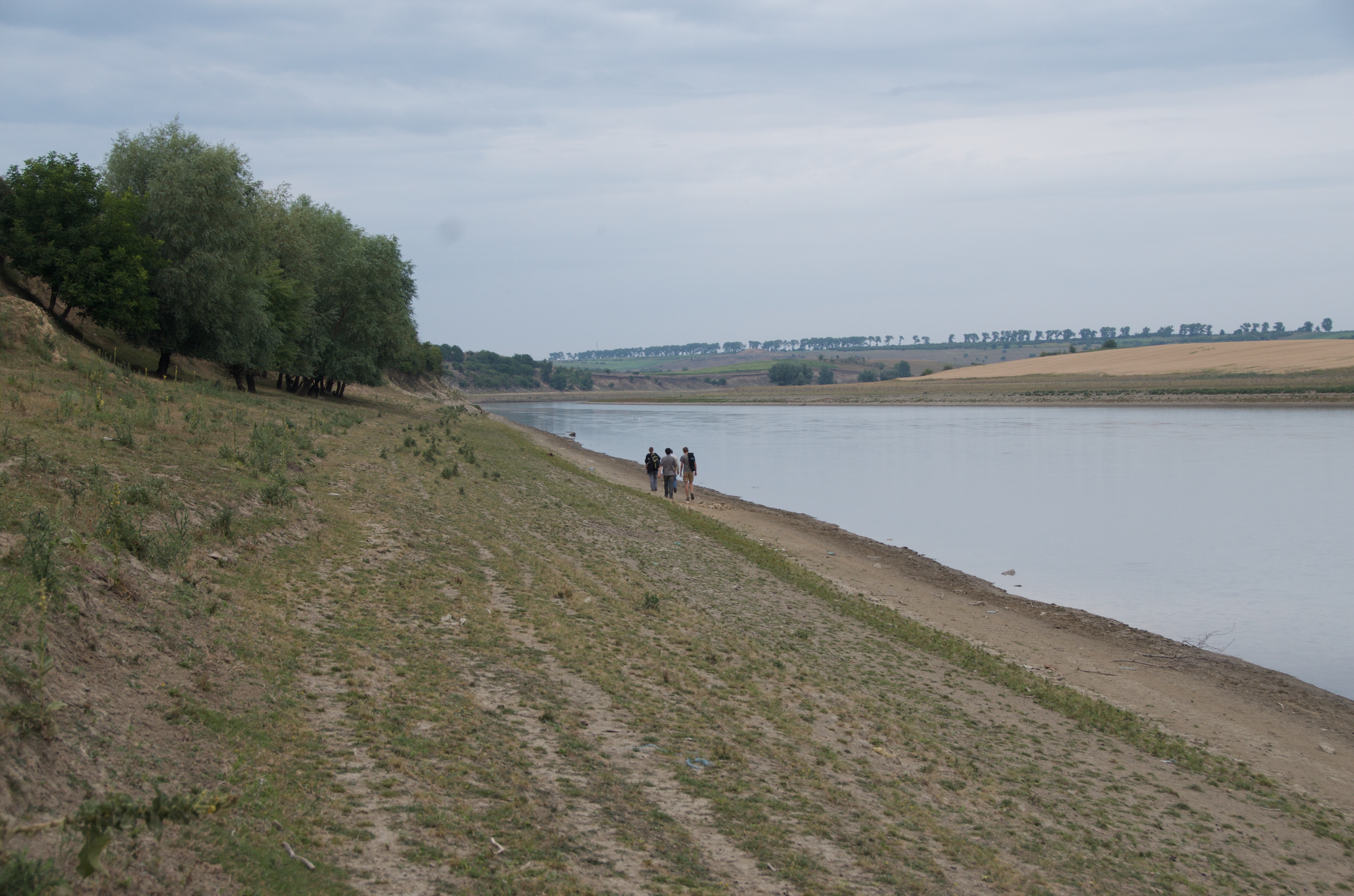
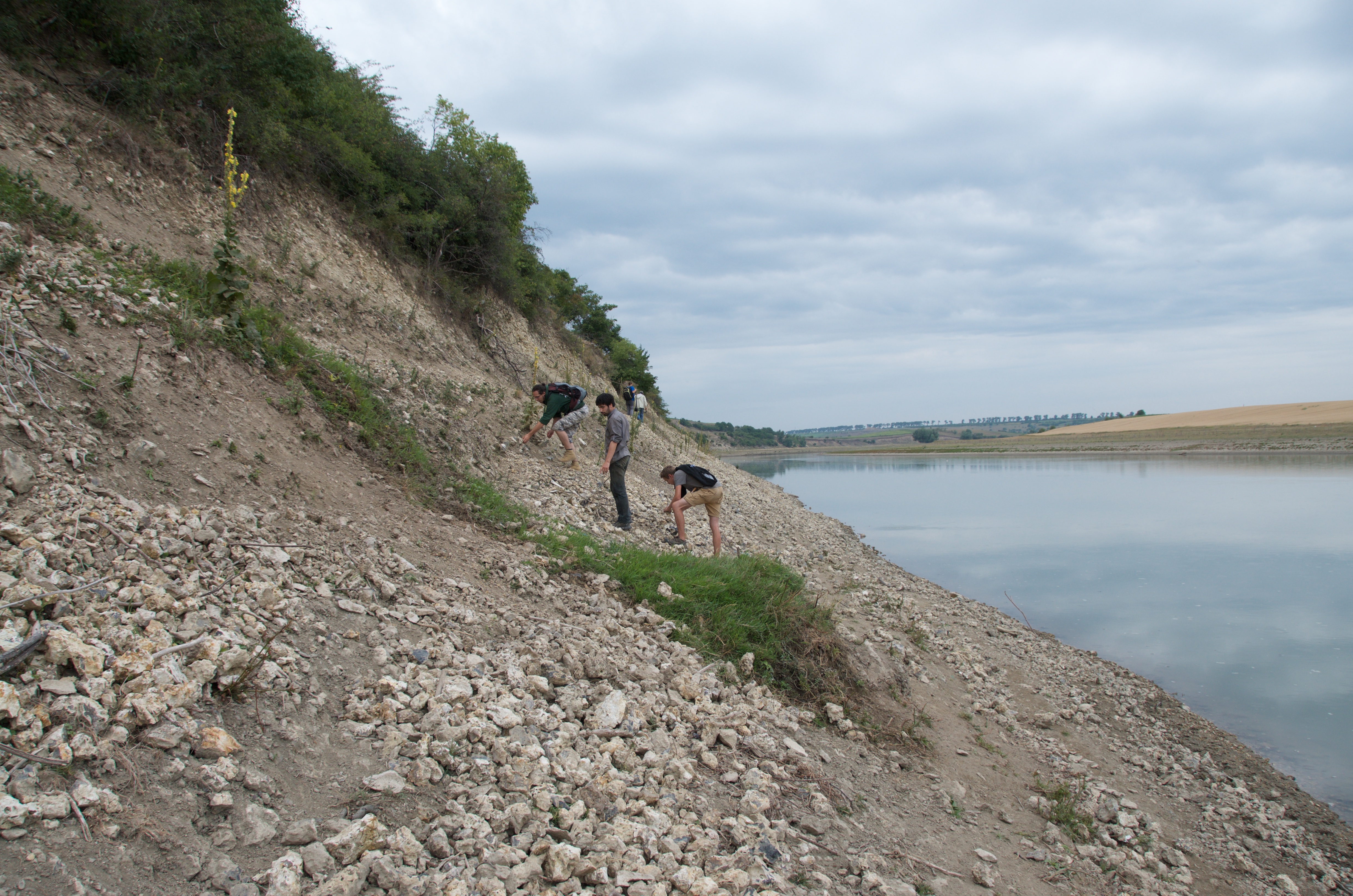
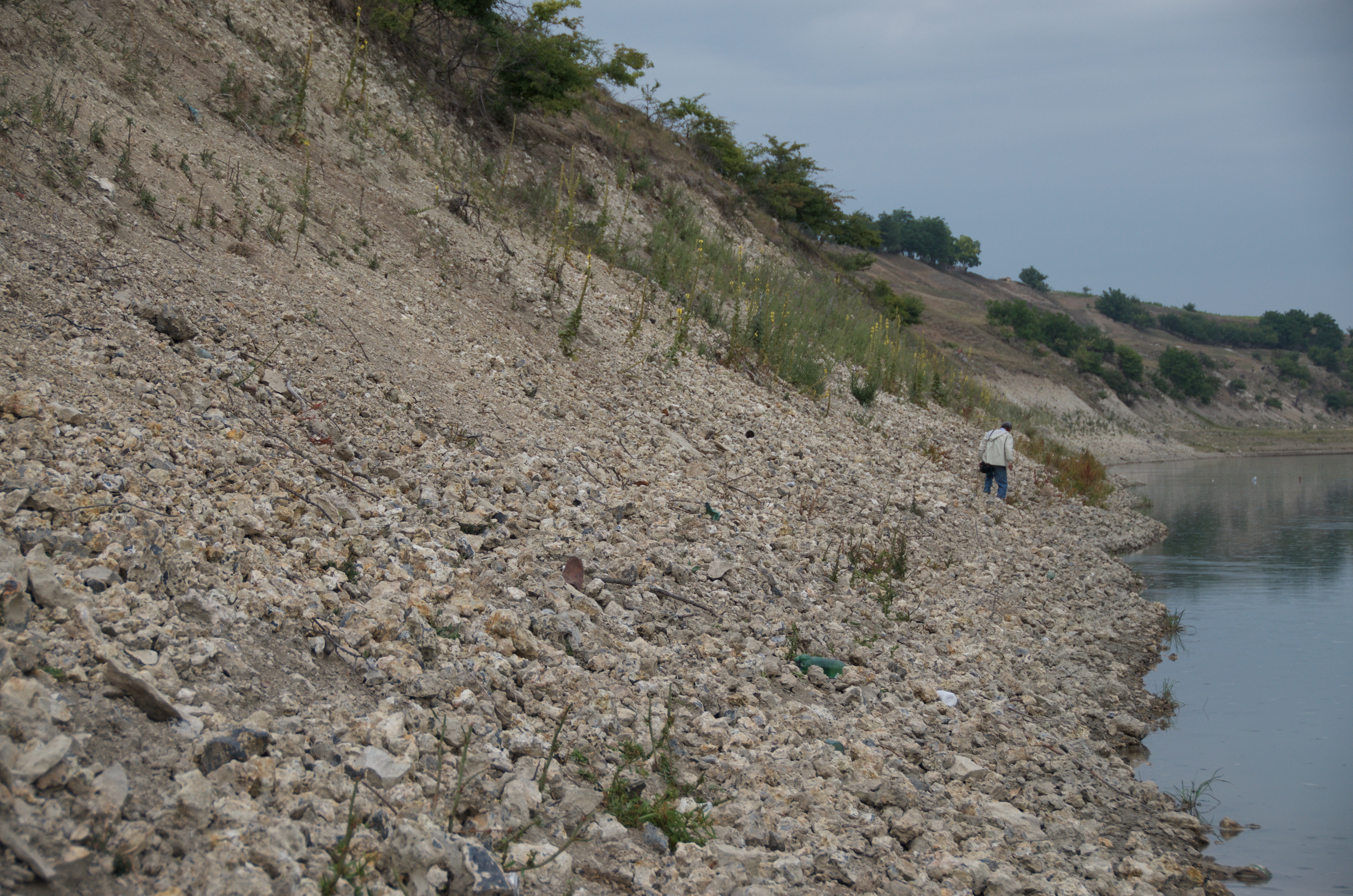
Mitoc-Malu Galben view from east.
Mitoc-Malu Galben, an Upper Palaeolithic open-air site in north- eastern Romania, is characterised by a long loess-paleosol succession and abundant archaeological remains attributed to the Aurignacian and Gravettian. It is a key site for the Early and Mid Upper Palaeolithic of Europe covering roughly the time window between 33 ka uncal BP (37.4 ka cal BP) and 20 ka uncal BP (24 ka cal BP). It provides a unique opportunity to study human behaviours and adaptations in a high-resolution climatic context.
This project has been co-directed since 2013 by Pierre Noiret (University of Liège), Philip R. Nigst (University of Vienna) and Vasile Chirica (deceased). Other team members include Marjolein D. Bosch (Austrian Archaeological Institute), Timothée Libois (University of Liège), and Paul Haesaerts (Royal Belgian Institute of Natural Sciences).
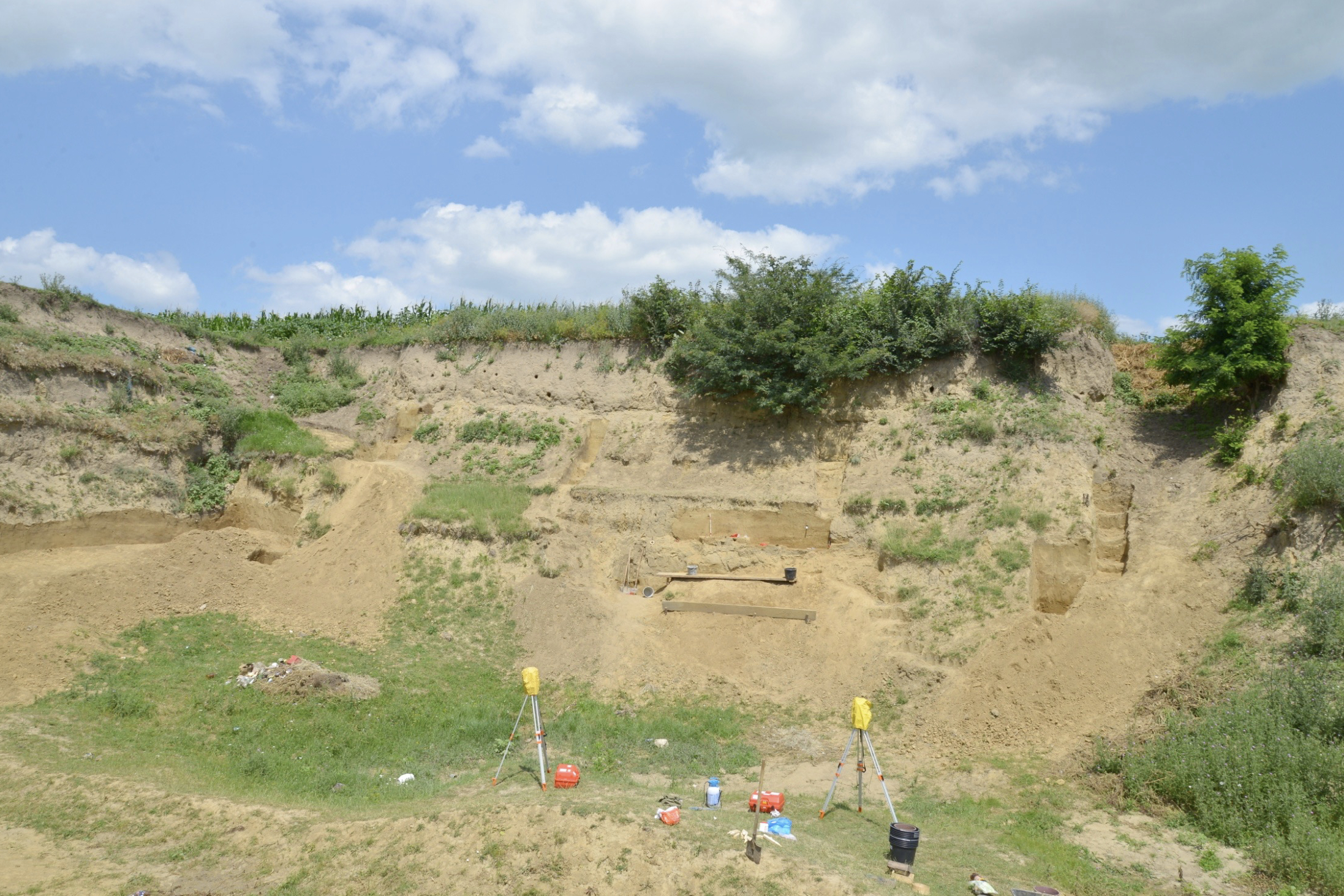
Mitoc-Malu Galben excavation 2013, view to north.
Mitoc-Malu Galben is located about 120 km north of Iaşi on the right bank of the Prut river valley in Botoşani county, northeastern Romania, close to the border with the Republic of Moldova. The site is situated in the Ghireni ravine, about 450 m from where the ravine meets the main Prut river valley.
The exposed sequence covers a loess-paleosol succession of about 14m depth. In this sequence, a set of archaeological layers has been documented and attributed to the Aurignacian and Gravettian. The chronostratigraphy of the sequence is based on the litho-/pedostratigraphic record, its climatic signal, and more than 40 radiocarbon dates. The exposed sequence is subdivided in 13 lithostratigraphic units, each representing a distinct sedimentation phase. Each sedimentation phase is usually associated with a stabilization phase marked by pedogenesis. Depending on the climatic events, the pedogenesis phases are represented by tundra gleys, i.e. periglacial conditions, or humic soils, i.e. subarctic to boreal conditions.
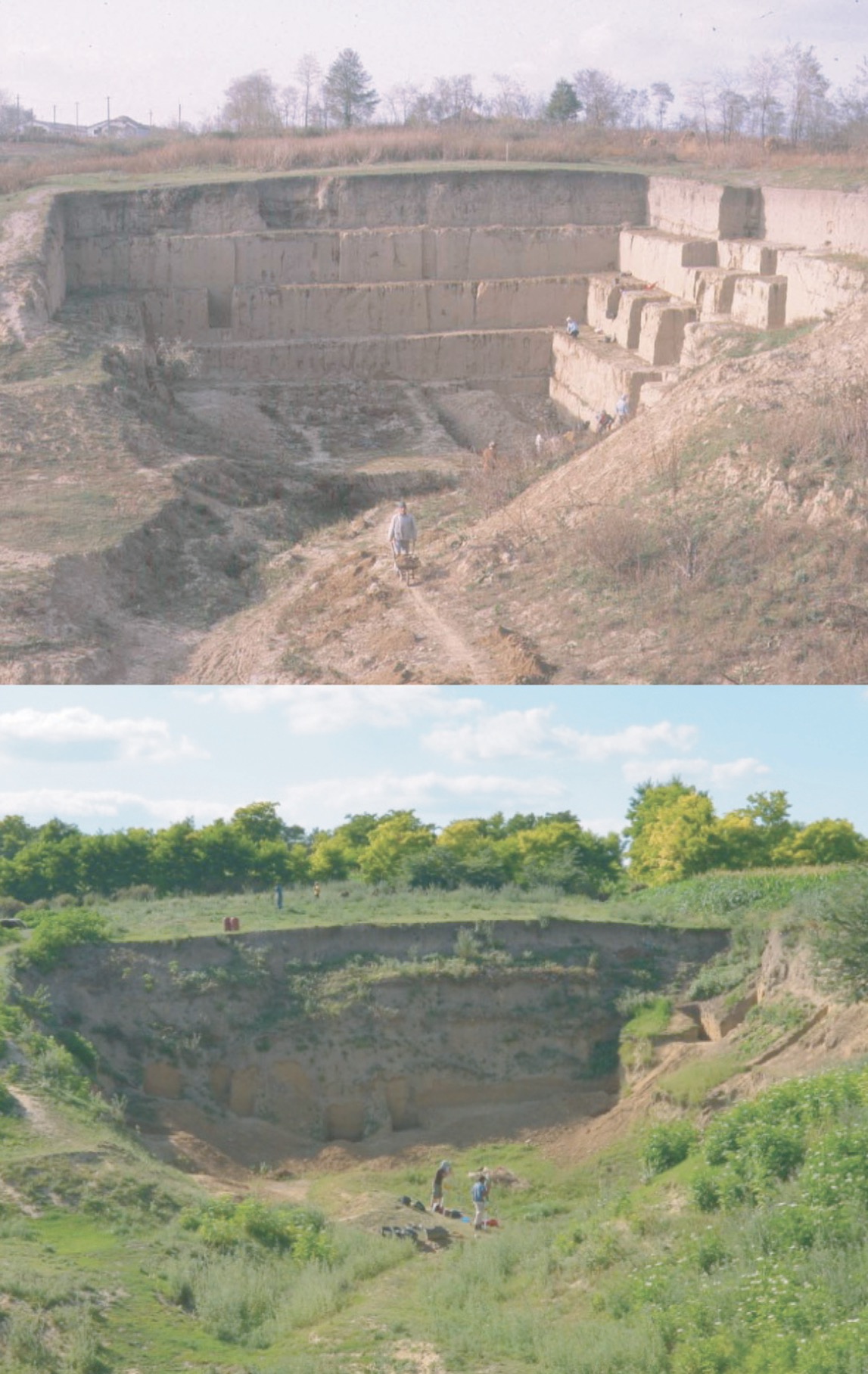
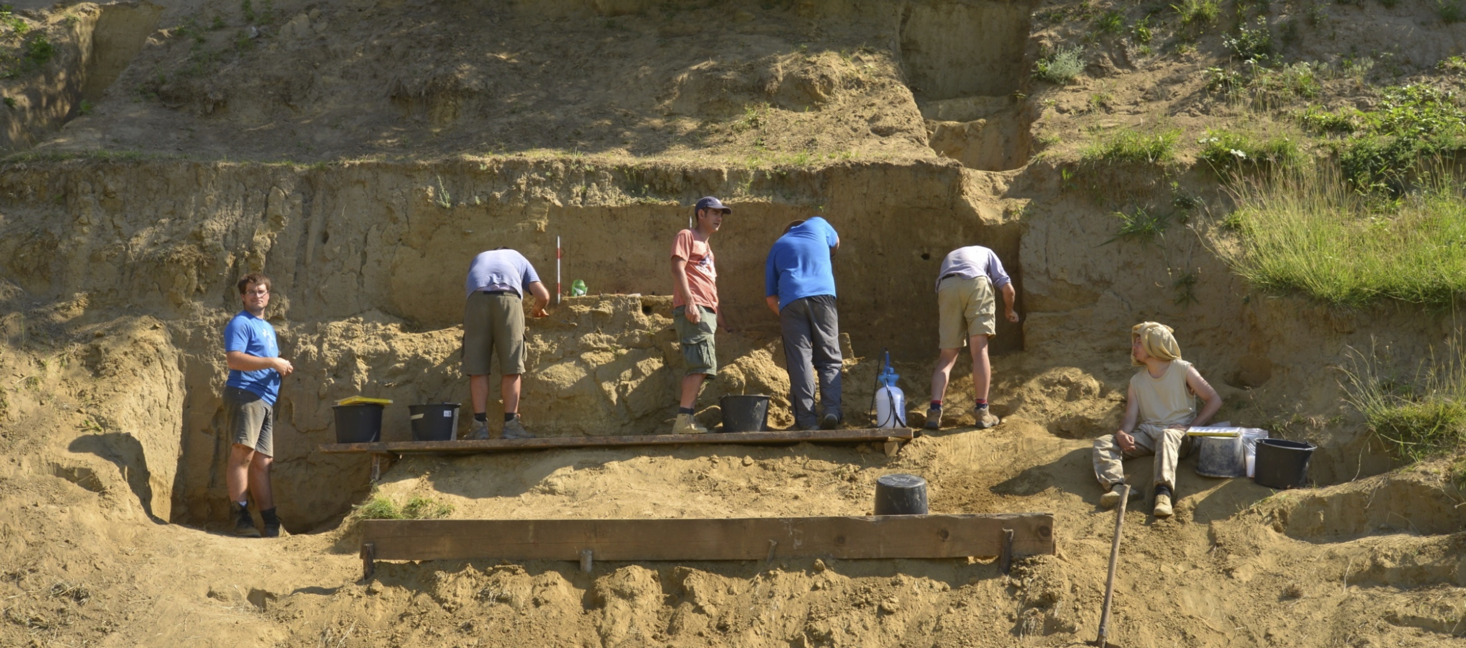
Excavations in 1992 and 2013, view from east. Photos: Pierre Noiret.
Within the 14 m deep sequence a large number of archaeological occurrences have been documented. The archaeological occurrences were grouped by the 1978 to 1995 excavators into packages of ‘archaeological layers’, including five Aurignacian ‘layers’ (from top to bottom: ‘Aurignacian III upper’, ‘Aurignacian III’, ‘Aurignacian II’, and ‘Aurignacian I’, ‘dispersed Aurignacian’) and four Gravettian ‘layers’ (from top to bottom: ‘Gravettian IV’, ‘Gravettian III’, ‘Gravettian II’, and ‘Gravettian I’).
Fieldwork history goes back to the late 19th and early 20th century. Palaeolithic artefacts from area were reported in the late 19th century and in the 1920s. Later, fieldwork was conducted between 1956 and 1957. From 1978 to 1990 the site was excavated in yearly fieldwork seasons by Vasile Chirica (Insitute of Archaeology, Iaşi Branch of the Romanian Academy of Sciences).
Chirica’s excavations exposed the entire sequence and identified four Gravettian and five Aurignacian layers. From 1991 to 1995 Chirica excavated in collaboration with Paul Haesaerts (Royal Belgian Institute of Natural Sciences) and Marcel Otte and Pierre Noiret (University of Liège). Between 2013 and 2016 Vasile Chirica (Insitute of Archaeology, Iaşi), Pierre Noiret (University of Liège) and Philip R. Nigst (then University of Cambridge, now University of Vienna) re-excavated the site.
Fieldwork 2013 to 2016
We conducted four excavation seasons between 2013 and 2016. Since 2016, our research focused on studying our newly excavated collections as well as samples of the previous excavations’ collections. Our excavations 2013-2016 were two-week long fieldwork seasons. We excavated in total 22 trenches, which comprises 15 trenches for geological and stratigraphical work and 7 trenches for sampling archaeological assemblages.
Our archaeological trenches (Trenches 13-A, 14-A, 14-B, 15-A, 15-B,16-A, and 16-B) targeted areas to (i) sample archaeological materials known from the old excavations, (ii) test areas with well-preserved de- posits for their archaeological potential, and (iii) excavate back some old exposed and eroding sections that lead to exposure of abundant archaeological materials out of context on the slope below those sections. The excavation process in the archaeological trenches started with removing backdirt and then excavating back old sections through either horizontal or vertical excavations. Subsequently, the newly produced sections were analysed and documented.
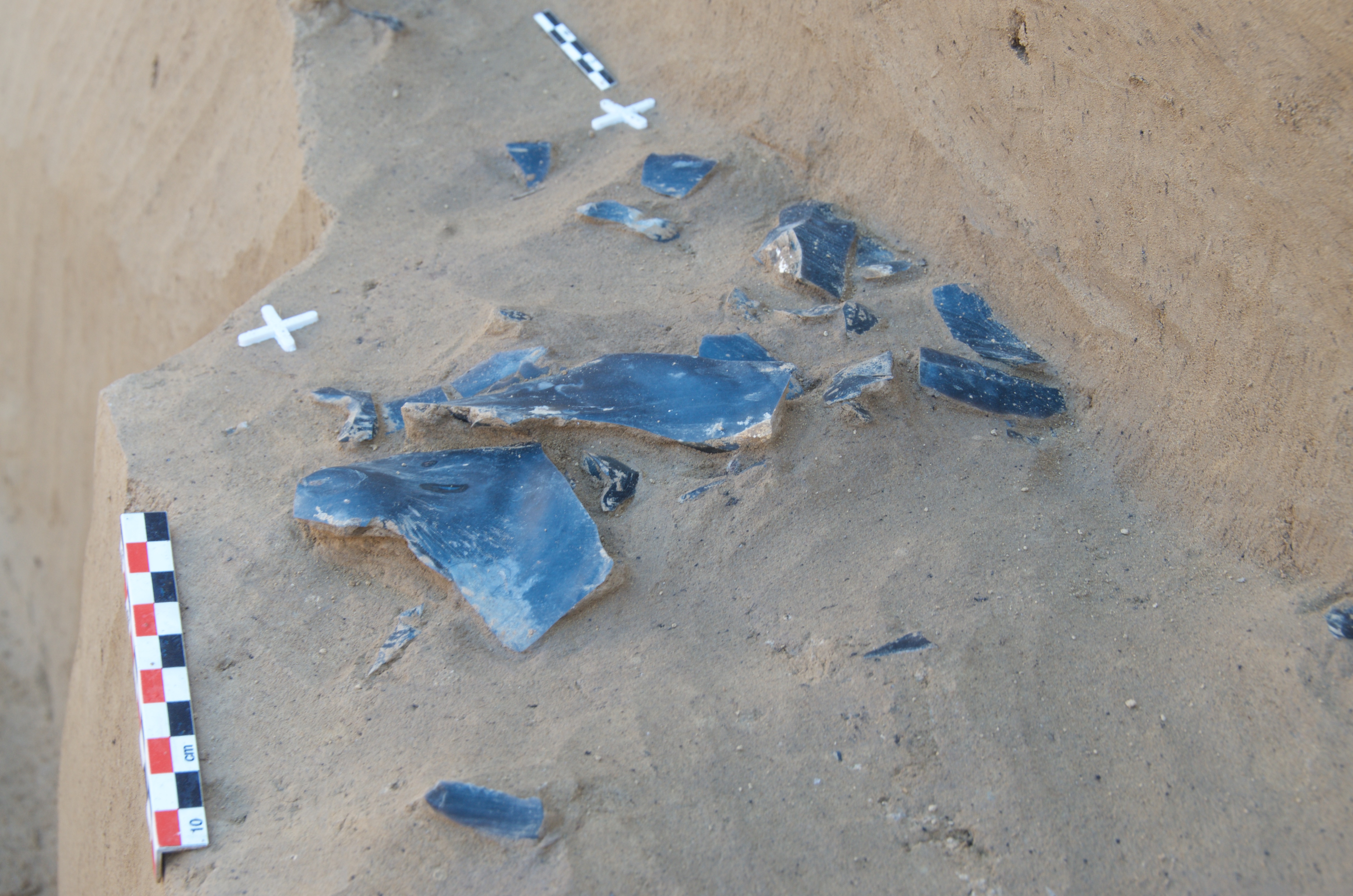
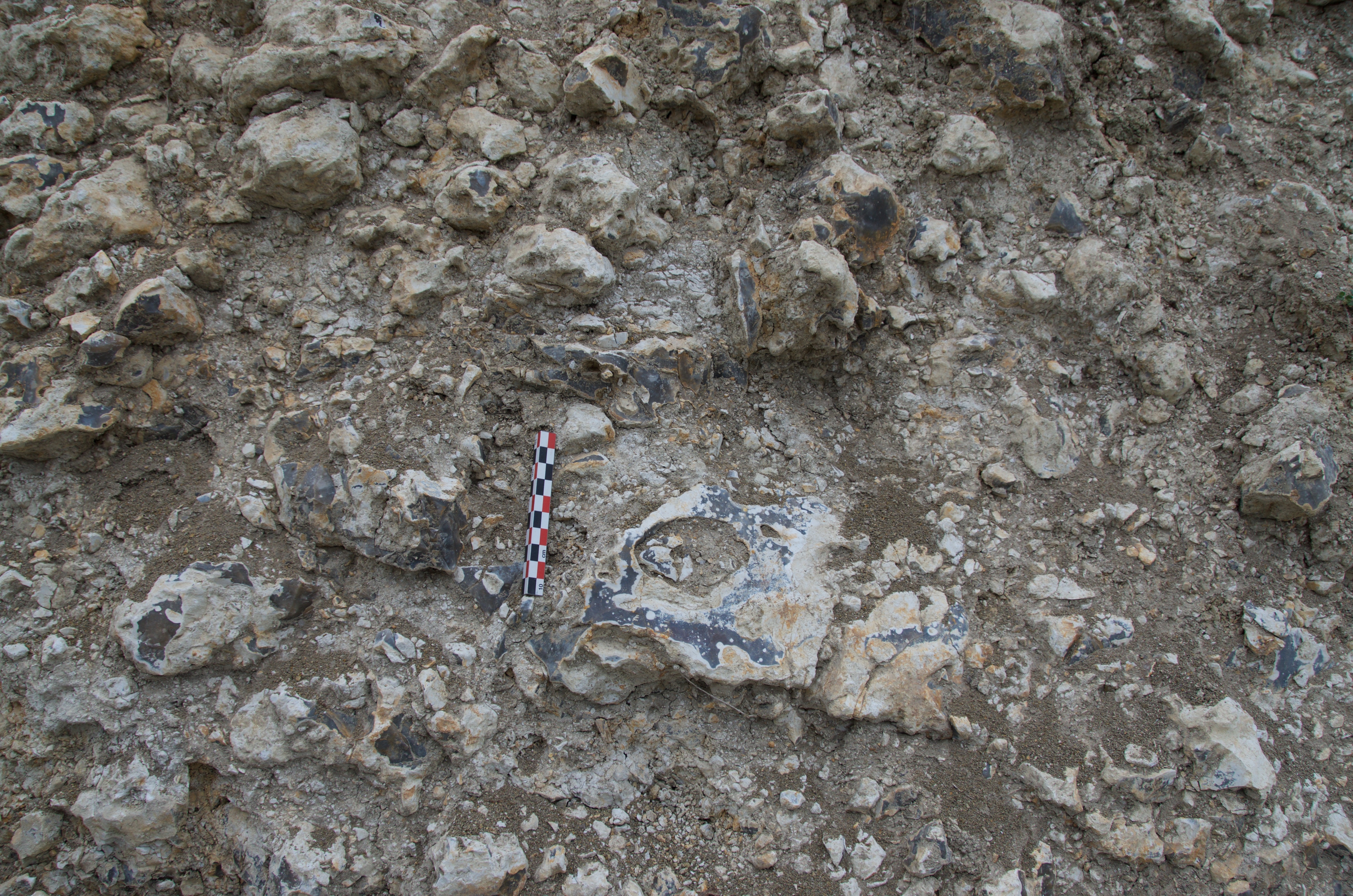
Late Aurignacian lithic artefact scatter.
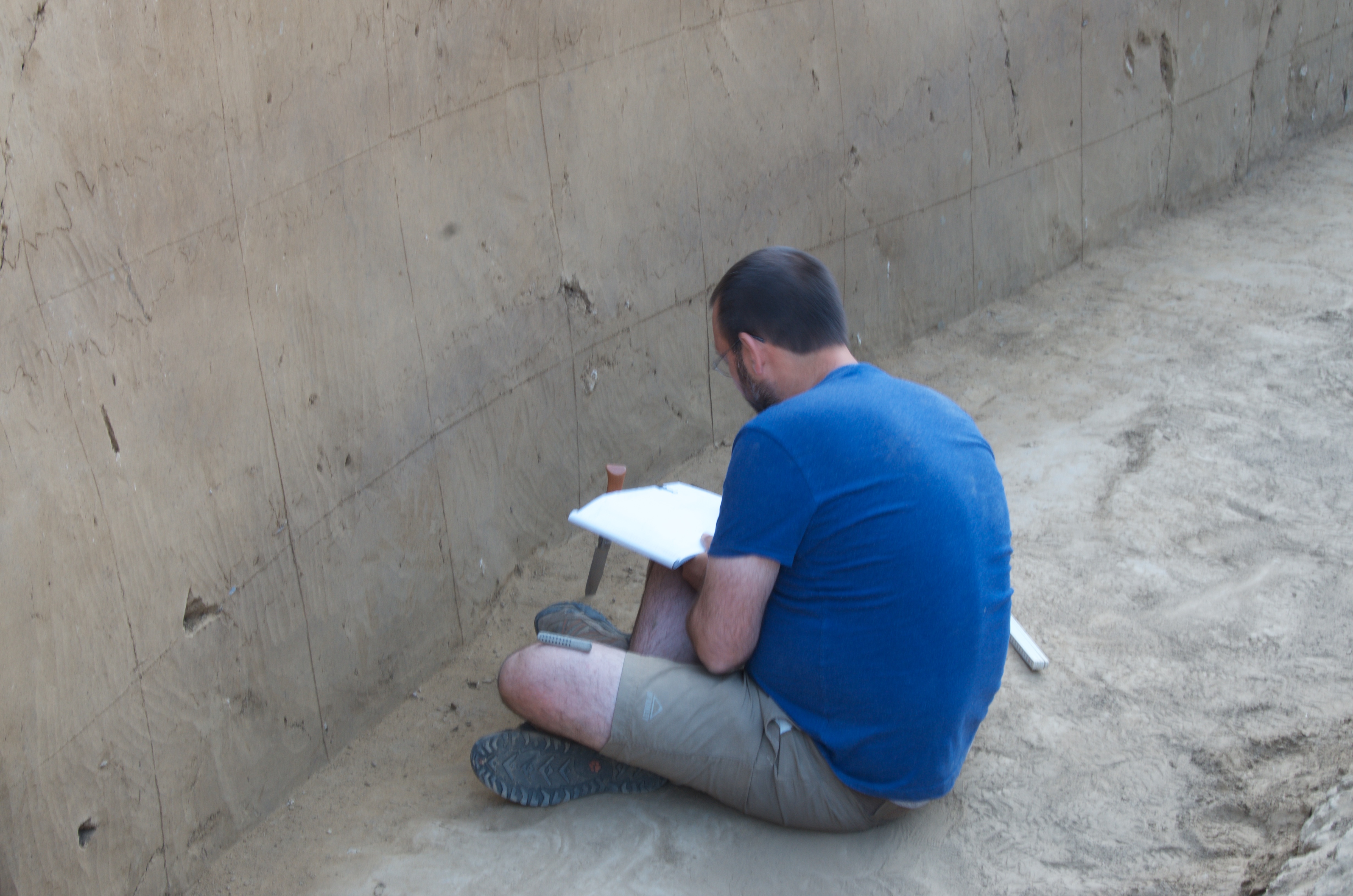
Drawing sections.
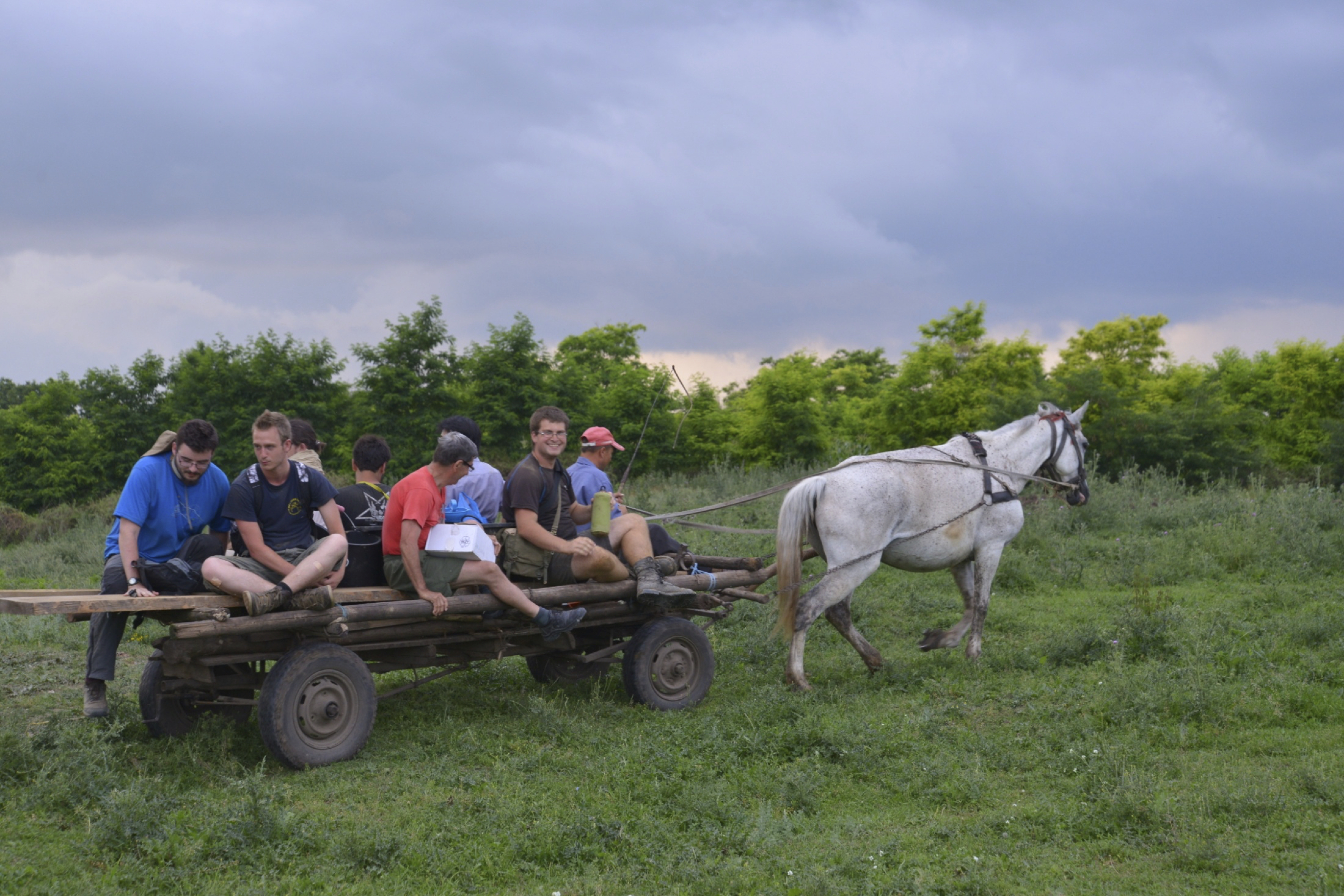
Our excavation car.
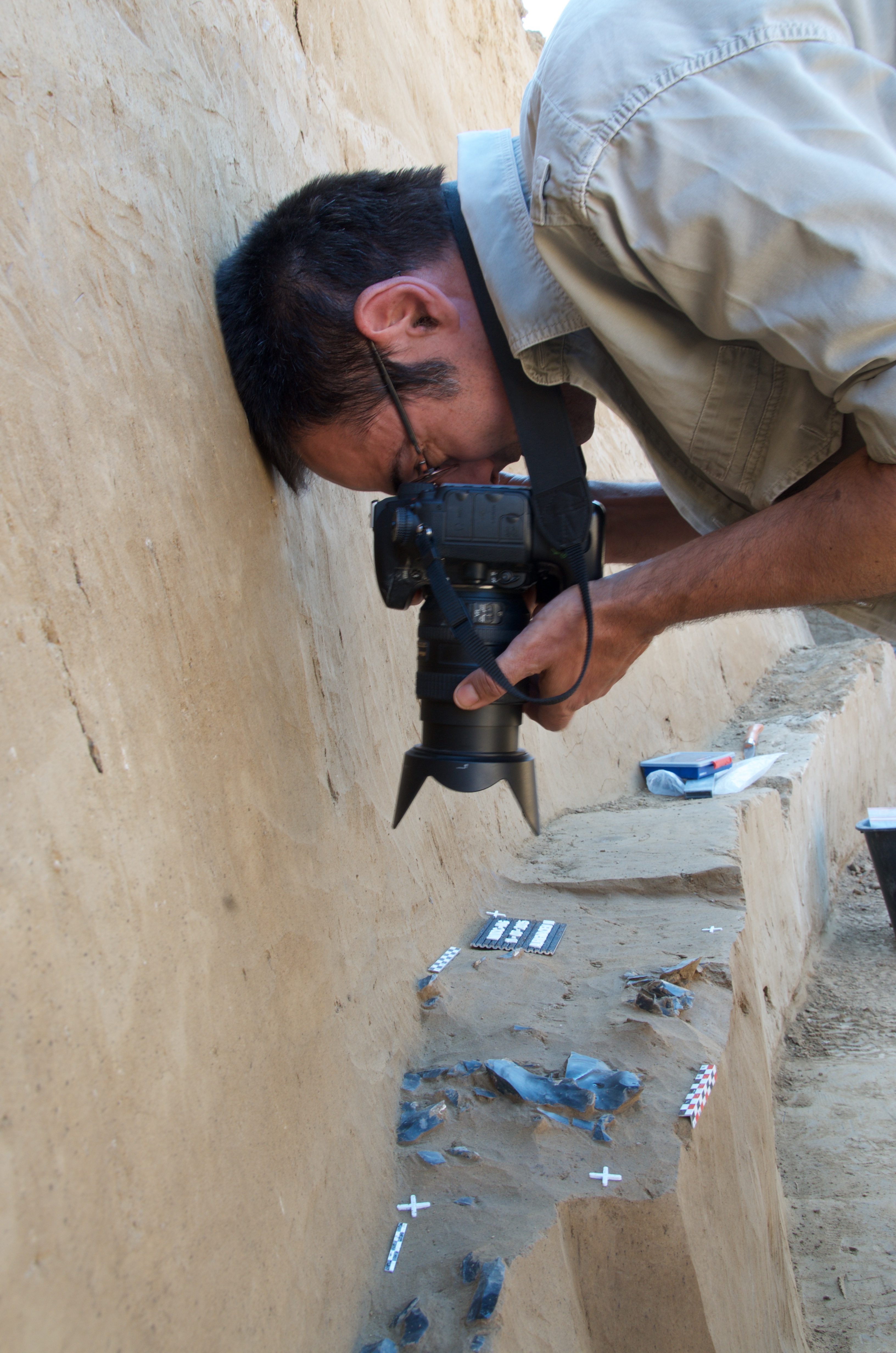
Photographic documentation of a scatter of lithics.
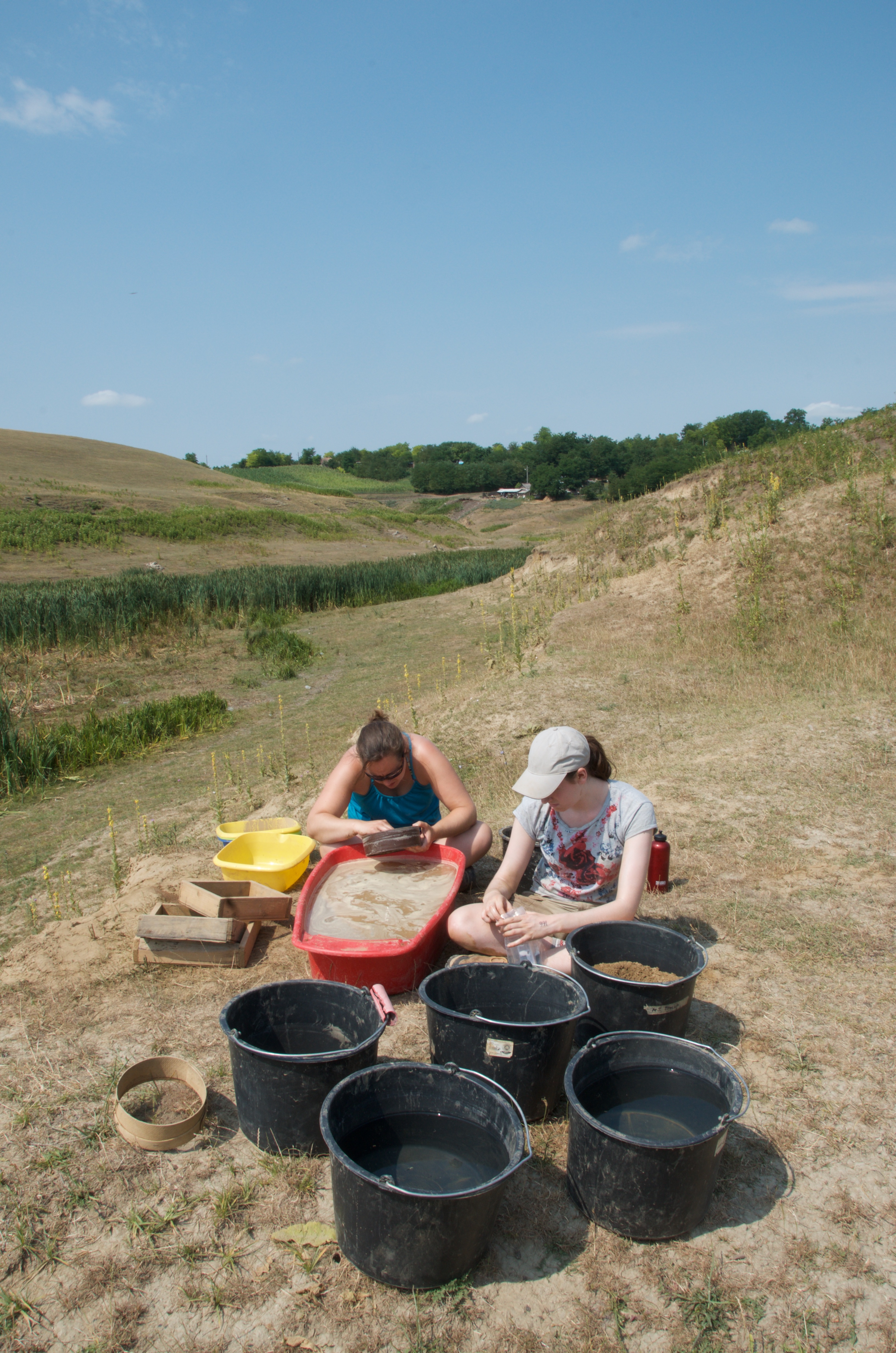
Wet-sieving station close to the river.
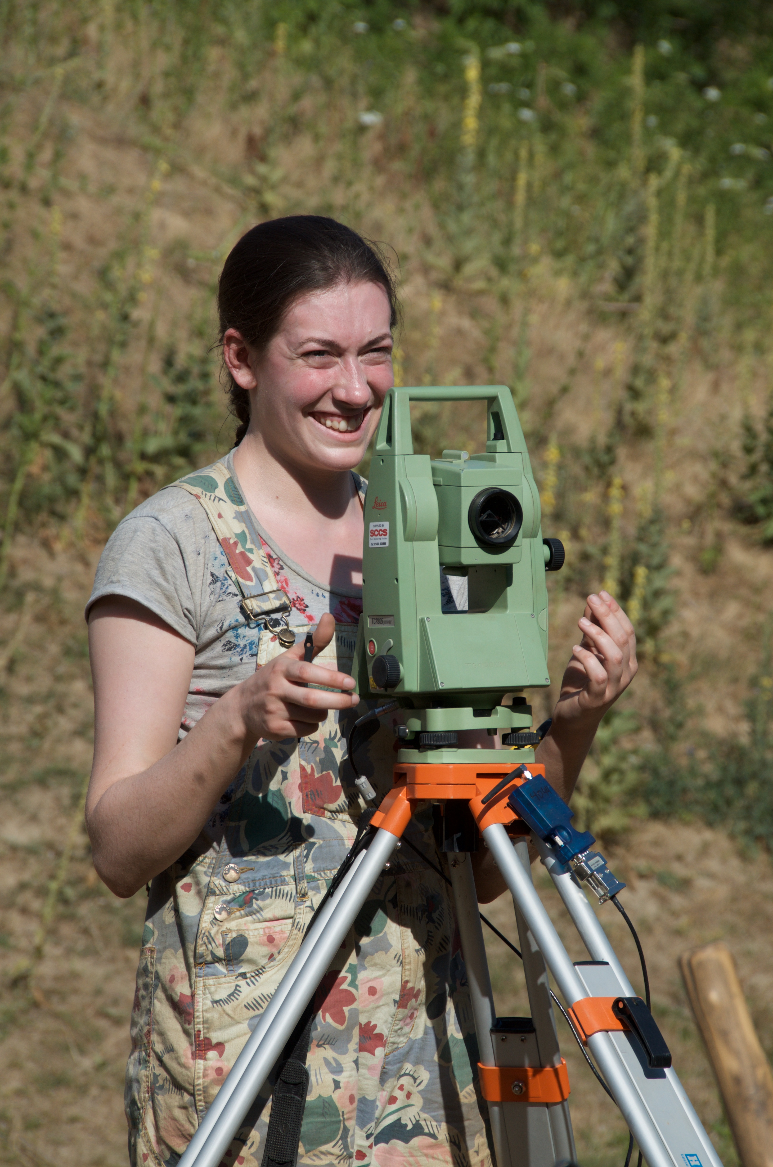
Operating the totalstation to piece-plot artefacts.
Excavation in the Gravettian layers along the northern section.
Our fieldwork produced:
- New Gravettian collections in SUs 6c and 7a (equivalent to Gravettian I and II of the old excavations)
- New Aurignacian collections in SUs 11b and 11a (equivalent to Aurignacian I of the old excavations)
- New probably late Aurignacian collections in SUs 9a and 9b (equivalent to the Aurignacian III upper of the old excavations)
- Refinement of the stratigraphic sequence
- Abundant data on artefact orientations (fabric analysis) and archaeological particle size distribution allowing a new assessment of the site formation processes
For a recent summary of the fieldwork history and an detailed overview of the research conducted since 2013 please see:
Nigst, P. R., Libois, T., Haesaerts, P., Bosch, M. D., Branscombe, T., Chirica, V., & Noiret, P. (2021). The mid Upper Palaeolithic (Gravettian) sequence of Mitoc-Malu Galben (Romania): New fieldwork between 2013 and 2016 - Preliminary results and perspectives. Quaternary International, 587-588, 189-209. https://doi.org/10.1016/j.quaint.2020.10.046
Noiret, P., Libois, T., Chirica, V., Branscombe, T., Murphree, W. C., Bosch, M. D., Haesaerts, P., & Nigst, P. R. (2021). 40 Years of Excavations at Mitoc–Malu Galben (Romania): Changing fieldwork methodologies and implications for the comparability of archaeological assemblages. L’Anthropologie, 125(4), 102919. https://doi.org/10.1016/j.anthro.2021.102919
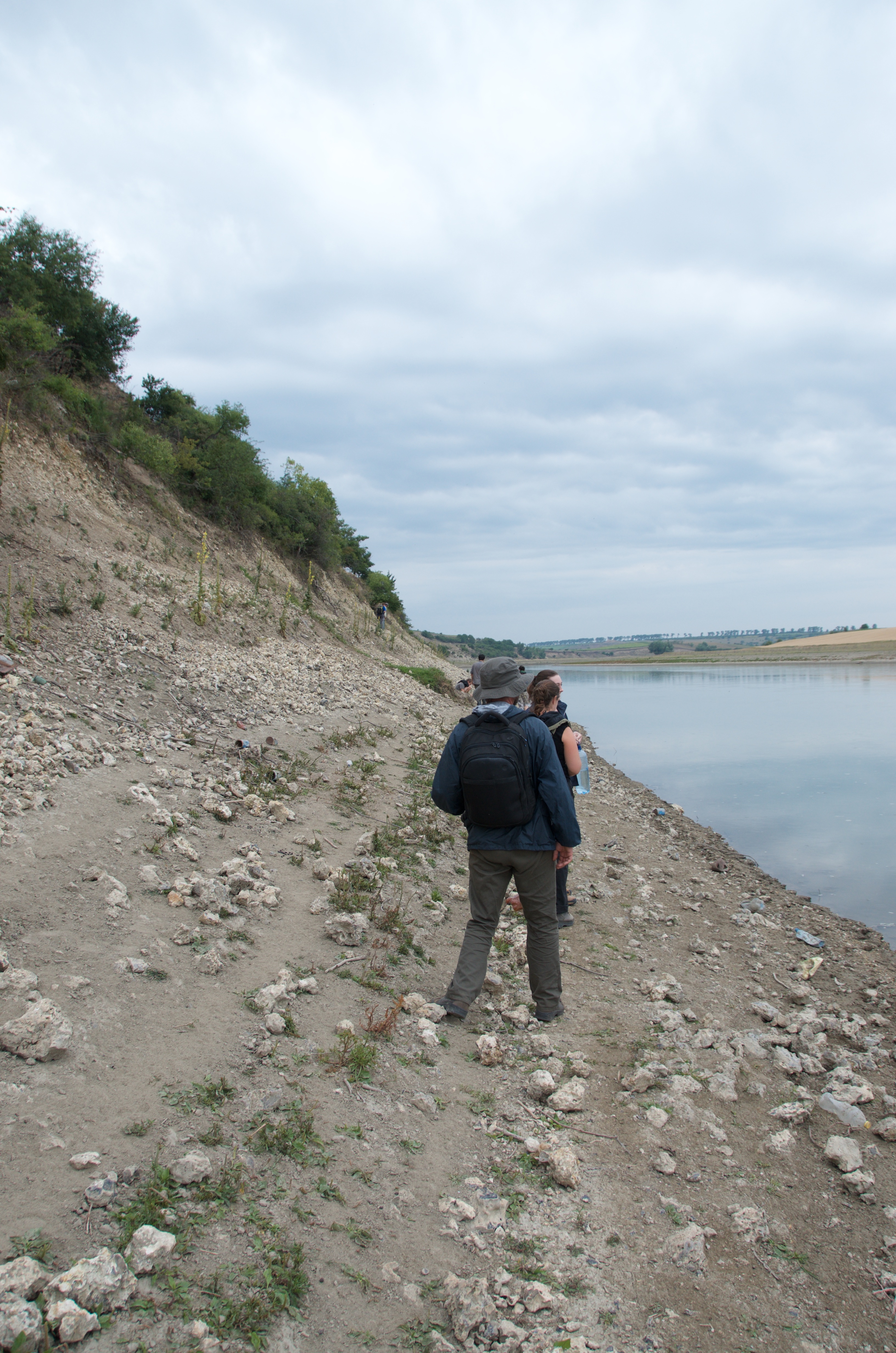
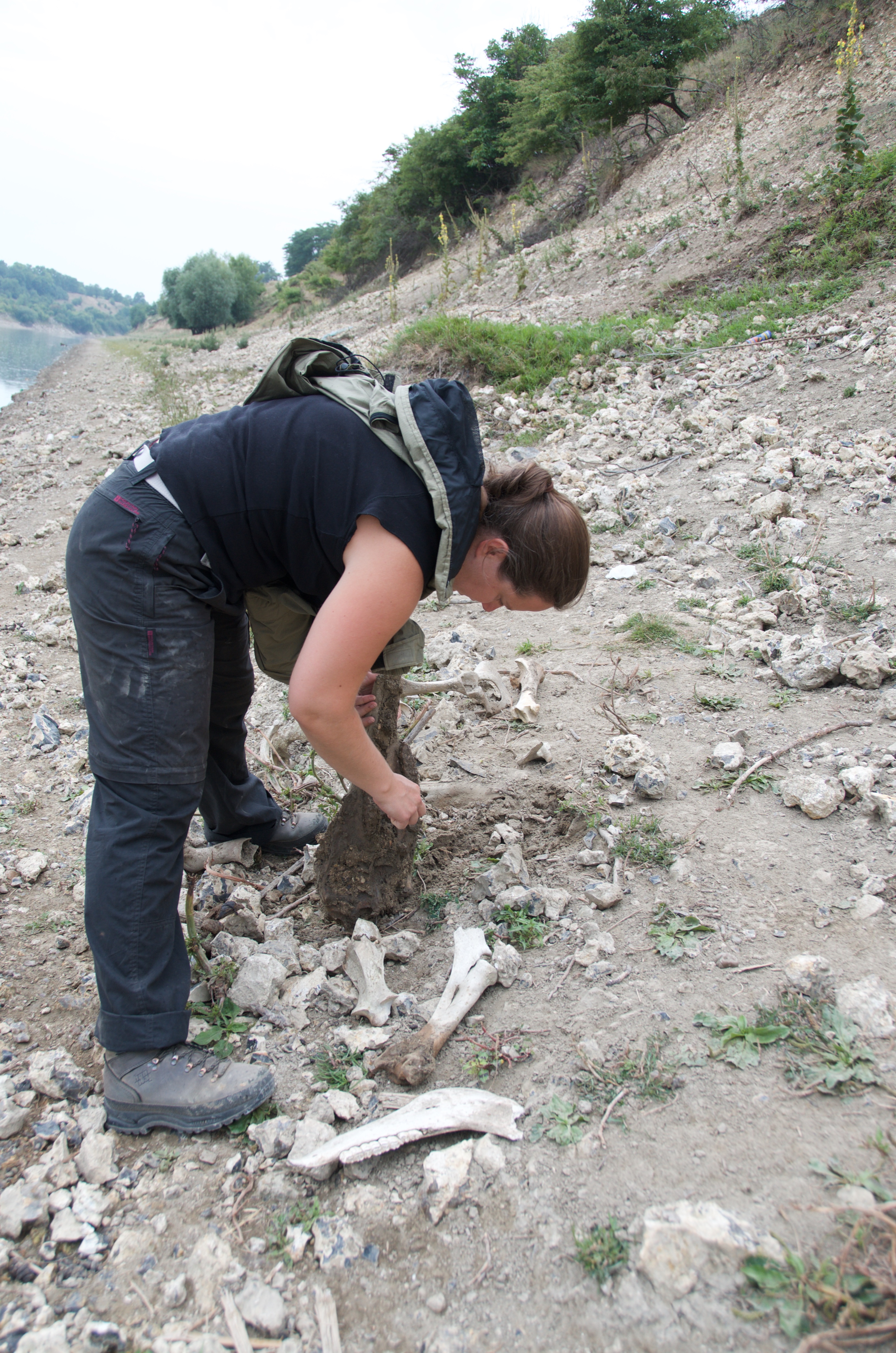
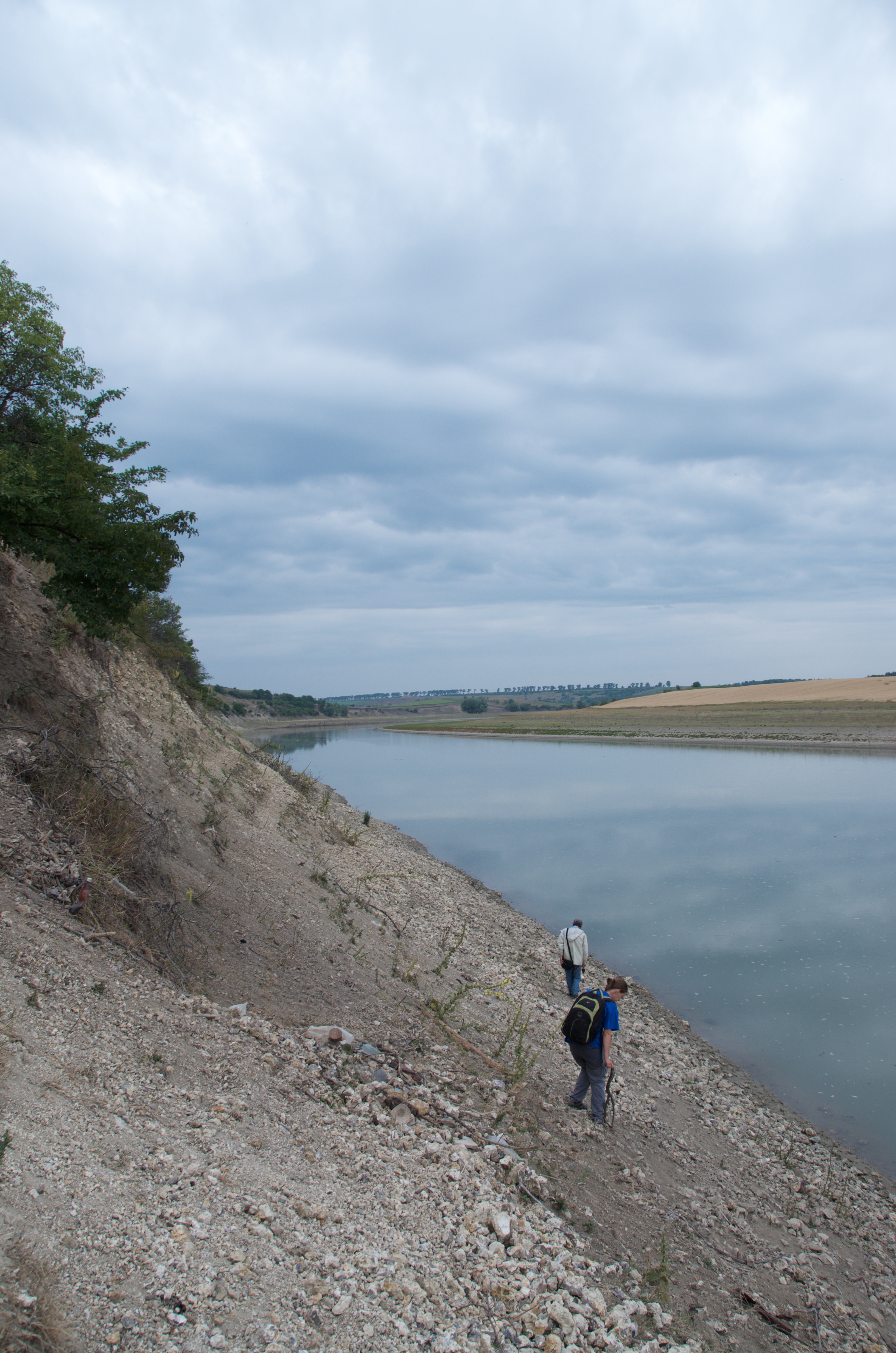
In the course of our fieldwork we also visited raw material outcrops along the Prut river just northeast of the village Mitoc.
All images © by Philip R. Nigst and Pierre Noiret, unless otherwise stated.